
Walk A North Salt Lake Street
The street directory walkthrough starts with one known address and moves outward. Davis County’s map can be browsed parcel by parcel when a street string does not match. Record the exact address, search date, city filter, result mode, parcel ID, legal description, current owner, mailing address, situs, subdivision, value, classification, and latest document number. Then decide whether the next step is a deed, tax, permit, voter, or historical search.
Use this order:
- Enter the street number, street name, and North Salt Lake city in Davis County Property Search.
- If the result is missing, zoom the Davis parcel map until lines appear, click the parcel, and open the detail pane.
- Save the parcel ID and legal description before moving to an adjacent geometry.
- Use the Recorder for the latest deed, grantor, grantee, plat, lien, or document entry.
- Use public voter information, permit requests, the library, Clipper, or a directory only for the narrower question each source can answer.
This is the core of a defensible street directory: address → parcel → owner clue → deed chain → optional corroboration. It is not address → every person nearby.
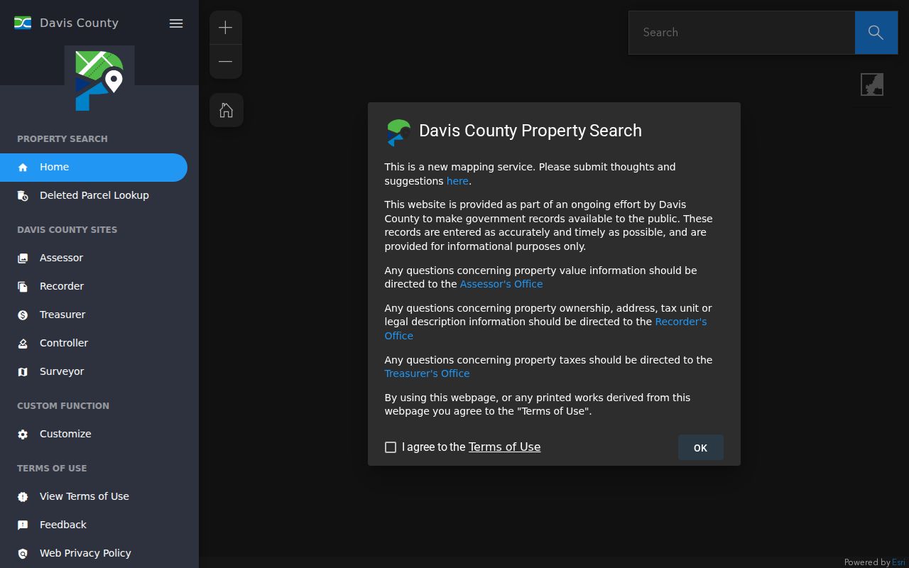
The Davis County Esri parcel map demonstrates the map-first route when street text search needs a visual check.
North Salt Lake Parcel Search Fields
The Davis portal accepts Owner Name, Property Address, Parcel or Serial Number, and Document Entry Number. The map is a separate control. Search the address first, then use the stable parcel key to cross to tax, GIS, and Recorder systems. Owner-name results can include common names, trusts, estates, corporations, and representative names.
| Field or control | Street-directory use |
|---|---|
| Owner Name | Test an ownership spelling, then confirm parcel and legal description. |
| Property Address | Match street number, name, and city; map-browse if the dropdown fails. |
| Parcel/Serial Number | Carry the same land unit across Assessor, GIS, Treasurer, and Recorder. |
| Document Entry Number | Retrieve a known deed, lien, mortgage, or other instrument. |
| Map parcel click | Read geometry, ownership/details, and the Tax Information link. |
| Mailing / situs | Separate correspondence location from physical land location. |
The parcel card may include legal description, tax district, total and land market value, acres, property class, subdivision, building square feet, floors, built year, construction material, primary-residence indicator, and house count. These fields identify a property record. They do not prove everyday occupancy.
North Salt Lake Mailing Address Clues
Situs is the physical property location. Mailing is where tax or Recorder correspondence goes. An owner may have a different mailing city, a representative may receive notices, or a trust or business may hold title. The Davis primary-residence page explains Utah’s 45% residential exemption and the Residential Property Declaration used when mailing and physical addresses do not match.
Street directory work should never silently turn “mailing address” into “home.” A vacant or commercial parcel can have an owner and a mailing address but no household clue. A multi-unit parcel can have one owner and many people. A primary-residence flag is tax classification evidence. It is not a daily presence check.
- Situs
- The physical place of the parcel.
- Parcel
- A mapped land unit with a parcel ID and legal description.
- Plat
- A recorded map showing lots, blocks, streets, or subdivision relationships.
- Criss-cross directory
- An historical address-oriented directory that may lead from a street to a name.
North Salt Lake Street Deed Chain
For a current parcel, open the latest purchase deed or known instrument, identify the grantor and grantee, and follow the prior legal description. A grantor conveys an interest. A grantee receives it. A legal description can remain useful when a street label, parcel number, or city designation changes. Search both names and the description.
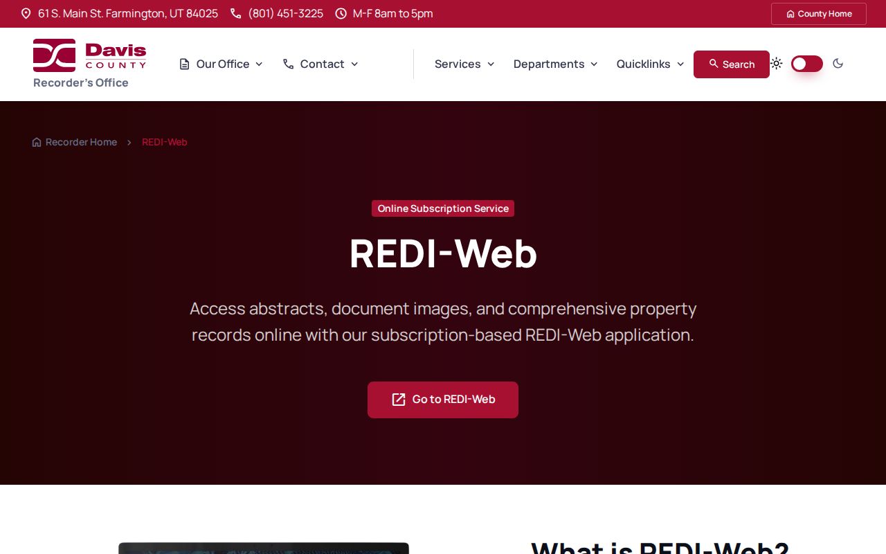
Davis Recorder history reaches back to safeguarded records since 1850 and early land books beginning in 1870. Computerization and microfilming began in 1981, but the exact public online cutoff is not stated. REDI-Web supplies paid searches and images. Counter or mail service is the fallback for copies, plats, certified records, and older material. The Recorder does not conduct a title search by phone.
The Davis Recorder REDI-Web page compares online document access with counter and mail routes.
Do not call a same-name deed a same-person match until parcel, legal description, date, and instrument context agree.
North Salt Lake Legal Descriptions
Older deeds may use metes-and-bounds, landmarks, lot and block, or a subdivision rather than today’s street number. A parcel split can create a new ID. A map can show a boundary while the deed explains the legal relationship. Save the printed description, subdivision, lot, block, instrument date, recording date, and document number.
A street-by-street pass also benefits from a fixed boundary rule. Decide whether across-street parcels count, whether common land is recorded, and how a parcel at the city edge will be labeled. Write the rule before reviewing names. Repeat the same rule for each address, and keep the count of parcels checked. That makes a North Salt Lake street directory result easier to audit when a later GIS refresh changes a line or an annexed area appears under a new city department.
The street directory fallback chain is map click, parcel ID, legal description, plat, Recorder instrument, city or county permit request, library reverse directory, Clipper notice, then a narrow GRAMA request. If the chain breaks at a legal description with no legible predecessor, label the last verified owner and stop. A same-name directory hit is not a missing deed.
Adjacent North Salt Lake Parcels
GIS has no documented one-click radius or buffer tool in the inspected instructions. The reproducible method is to click the target, note its parcel ID, then click each adjoining geometry. Classify each as residence, vacant land, commercial or industrial, public/common space, or boundary-adjacent before writing about neighbors.
The map’s parcel geometry can be joined to SGID fields such as PARCEL_ID, SERIAL_NUM, PARCEL_ADD, PARCEL_CITY, TAX_DISTRICT, acres, market values, subdivision, building size, floors, built year, and primary-residence indicator. An adjacent shape may sit outside North Salt Lake or in another service area. Visual closeness is not the same as shared jurisdiction.
North Salt Lake Voter Data By Street
Utah public voter information can include name, residential or mailing address, age range or year of birth, party, precinct, districts, active or inactive status, and vote-history elements in defined products. Full date of birth, driver-license or ID number, Social Security number, email, phone, and signature are protected. At-risk voters can be withheld or anonymized.
The Utah Voter Search is person and status oriented. The state file has purpose, fee, and use rules. No official public street-roster interface was documented. Do not publish all names associated with a street or assume every person at an address is registered. A registration may lag a move, and vote history shows participation, not ballot choice.
| Question | Correct source | Limit |
|---|---|---|
| Who owns the parcel? | Davis Property Search / Recorder | Owner is not automatically occupant |
| Is a person registered? | Utah Voter Search | Protected records and fields withheld |
| Who is next door? | GIS parcel browse | Geometry is not a household list |
| Who lived there before? | Polk, Clipper, census, deeds | Historical and edition-specific |
North Salt Lake Street Permits
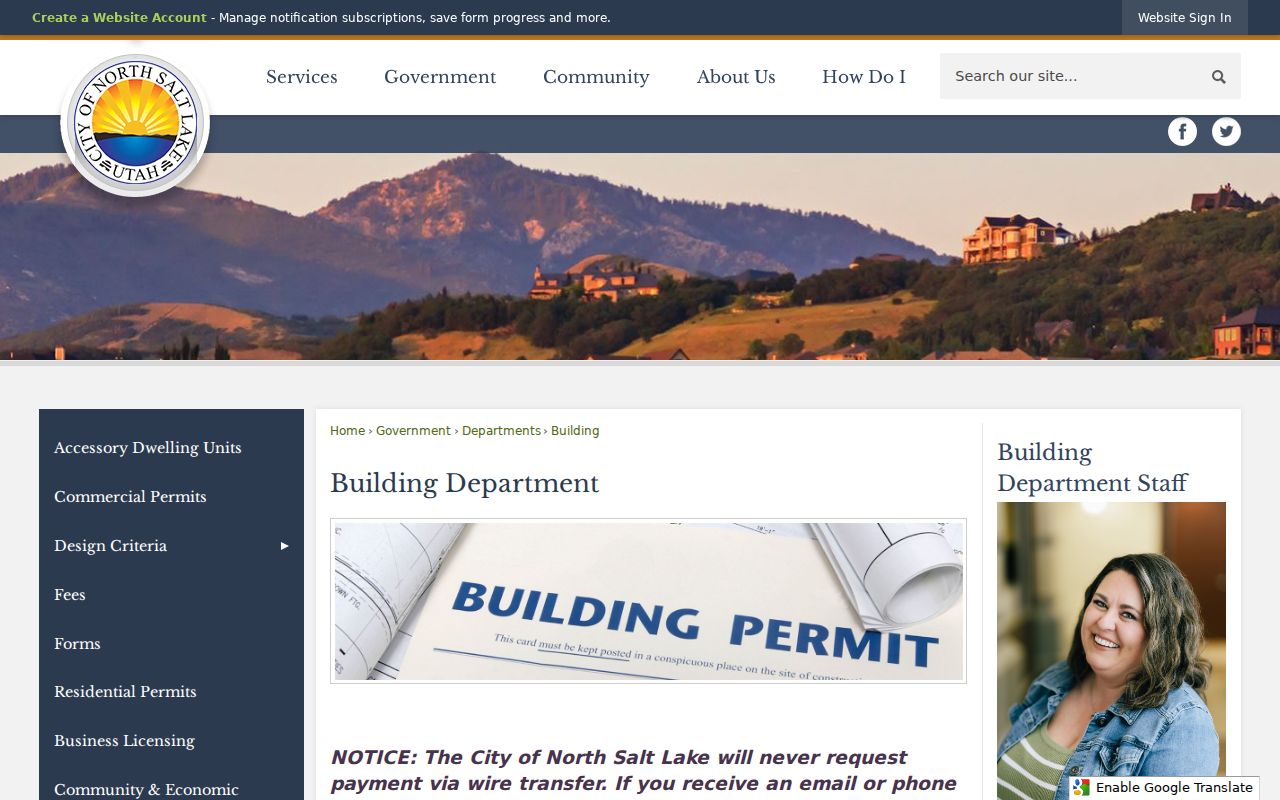
North Salt Lake Building handles permit and inspection material for city parcels. Davis County Building provides an “Apply Here or Search Existing Permit” route and a jurisdiction map. Shaded city areas are handled by the municipality; unshaded areas are handled by the county. The public research did not expose a full permit field set or the earliest searchable year.
Permit records can date construction, additions, reroofs, inspections, and major alterations when public. They do not establish who lives at the address. For an existing file, request the address or parcel, permit type, and date range. A pre-annexation parcel may sit in county records while a later planning record sits with North Salt Lake.
The North Salt Lake Building page lists work that can trigger a permit and points to sensitive-land guidance.
North Salt Lake 84054 City Line
DavisLinks pairs North Salt Lake with ZIP 84054, but a ZIP code is postal geography. Utah SGID describes ZIP polygons as approximate. The city’s 2023 Area B and Val Verda annexation changed jurisdiction and zoning while addresses stayed the same for sales-tax purposes. Search county and city records for the transition period.
No official citywide street renumbering or quadrant formula was located. Older searches should try North Salt Lake City, North Salt Lake, Val Verda, rural Davis County, Bountiful-area terms, Highway 89/91, and historic subdivision names. Preserve original wording when a 1958 Polk entry or Clipper notice differs from today’s address.
North Salt Lake 1958–1959 Reverse Clues
The University of Utah’s 1958 and 1959 Polk suburban directory metadata names North Salt Lake. Search street or reverse sections, note the edition, and compare an address with a deed, parcel, census, or Clipper notice. The 1879–80 gazetteer is county and predecessor context. It is not evidence that the incorporated city existed then.
Historical directories belong to the directory-book workflow, not the current street chain. A listing is a publisher’s snapshot. It may point to a household, business, owner, renter mark, or abbreviation, but the scan must be read before any detail is transcribed.
North Salt Lake Street Limits
A street directory cannot show every household member, private occupant, utility customer, DMV address, protected voter, recent vital record, sealed case, or restricted police report. The federal Driver’s Privacy Protection Act limits motor-vehicle data. There is no public utility customer route in the researched source set.
Lawful use. Address and parcel records support personal, family, property, and civic research. Do not use a North Salt Lake street search to stalk, harass, intimidate, or harm a person, and do not try to defeat Safe at Home or voter protections.
Use the source date and confidence level in every street note. A current owner, a former directory name, a planning applicant, and a voluntary neighbor contact are not interchangeable facts.