
North Salt Lake ZIP Coverage
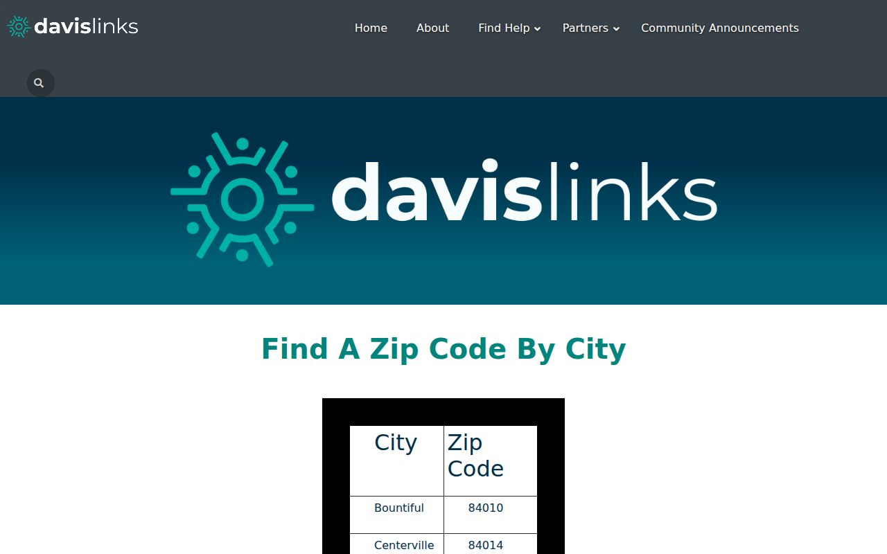
The official DavisLinks city-by-ZIP table pairs North Salt Lake with ZIP 84054. Its 2025 annual report records 307 DavisLinks searches for 84054. That count measures use of a service, not population, households, voters, or residents. The safest North Salt Lake ZIP code directory entry therefore states the pairing and keeps the coverage note beside it.
| ZIP | Areas covered | Post office | Notes |
|---|---|---|---|
| 84054 | DavisLinks lists North Salt Lake | Exact local USPS station name not located | Verify the full address; SGID polygon is approximate |
The postal route also has a practical records effect. A city name in a mailing label may send a request to the wrong counter when the parcel sits near a boundary. Keep a copy of the USPS result, the Davis city field, and the access date. If a public notice uses a parcel number but a tax record uses a different mailing city, follow the parcel and legal description first. That habit matters for North Salt Lake because county and city duties changed around the Area B transition while the address stayed in use.
Do not invent a second ZIP, a station name, or an address exception list. The research did not locate an official North Salt Lake ZIP split history, PO-box-only code, unique-institution code, or ZIP-by-precinct table.
The DavisLinks city-by-ZIP table is the local source for the 84054 pairing.
Verify A North Salt Lake ZIP
USPS standardized addressing and ZIP+4 help mail reach a particular delivery point. A ZIP code is not a parcel ID. A ZIP+4 is a delivery refinement, not a person or household identifier. Use the USPS ZIP basics route for a specific address, then compare the result with the Davis parcel and city layers.
- Enter the complete street address into the official USPS lookup rather than relying on a city-name guess.
- Record the returned ZIP and ZIP+4, keeping the postal wording as supplied.
- Check the address in Davis County Property Search and save parcel ID, situs, legal description, and city field.
- Overlay or compare the parcel with Davis GIS and the Utah SGID ZIP layer.
- Check whether the parcel falls in the 2023 Area B/Val Verda transition and identify the correct permit or planning office.
- Use the Recorder for deeds and plats, not the ZIP code itself.
The USPS Postmaster Finder can search the first three ZIP digits for historical post-office establishment or discontinuation. It is a history tool, not a current municipal-boundary source.
North Salt Lake ZIP Polygons
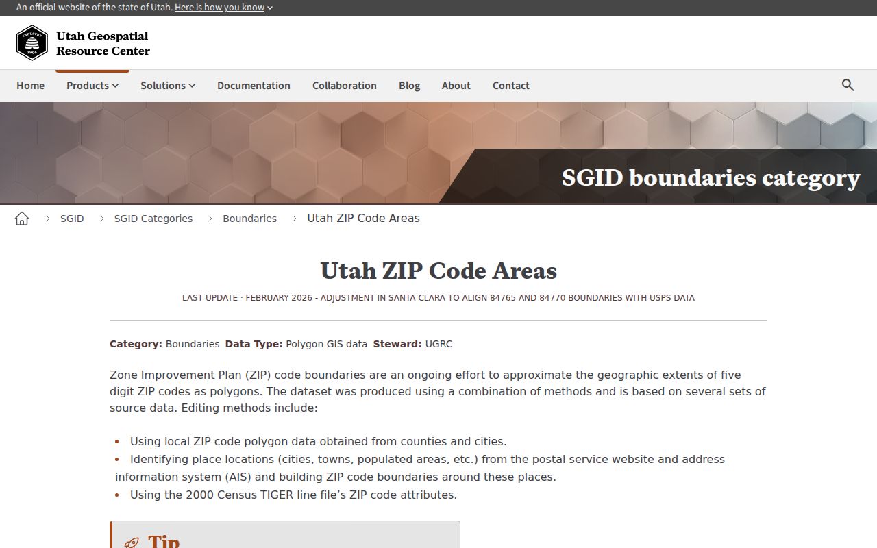
Utah SGID says ZIP polygons are built from county and city polygons, USPS AIS, and Census TIGER methods. The official layer describes the shapes as approximate. It notes an improved Davis boundary update in April 2022 and other changes elsewhere. A shaded polygon is therefore a planning clue, not a legal city line.
The Utah SGID ZIP boundary page explains the source and limitations of the map layer.
A ZIP-wide residents directory search is not documented in Davis Property Search or Utah Voter Search. To narrow a place, use a bounded list of streets or parcel IDs. Then hand street-level work to the North Salt Lake street directory workflow, which keeps parcels and addresses distinct.
- ZIP code
- A postal delivery area used to sort and route mail.
- ZIP+4
- A nine-digit delivery refinement for a specific address range or point.
- Parcel ID
- A land-record key used by GIS, assessment, tax, and Recorder systems.
- Mailing city
- The postal city label, which may not match the incorporated municipality.
North Salt Lake 84054 City Lines
North Salt Lake’s Area B and Val Verda annexation is the local boundary lesson. City material describes an area between the existing North Salt Lake north boundary and Bountiful’s south boundary, generally north of Odell Lane toward the Bountiful boundary around 3400–3500 South, east of Highway 89 toward Orchard Drive. The policy material estimates about 98 acres, roughly 300 homes and six businesses, and about 924 people in 2021. Verify a parcel against the final plat rather than using those planning estimates as a current count.
A later city memo says the annexation became effective January 1, 2023 after survey, county review, Lieutenant Governor certification, and Recorder plat steps. City materials say addresses remained the same for sales-tax purposes while zoning moved from county to city. A 2022 tax or permit record can therefore name county jurisdiction, while a 2023 planning record uses North Salt Lake.
| Field | Meaning |
|---|---|
| Situs / property address | Physical parcel location for assessment, GIS, and permits |
| Mailing address | Tax or Recorder correspondence route, possibly elsewhere |
| Legal description | Deed or plat description that can outlast a street label |
| ZIP / mailing city | USPS delivery label, not the municipal boundary |
| Voter residence | Registration field governed by Utah privacy rules |
Parcel IDs Bridge ZIP Records
A ZIP code helps normalize mail. A parcel ID helps join land systems. Davis Property Search accepts address, owner, parcel or serial number, and document entry number. The map can show parcel geometry, ownership details, legal description, tax information, subdivision, values, and building attributes. Utah SGID fields include PARCEL_ID, SERIAL_NUM, PARCEL_ADD, PARCEL_CITY, TAX_DISTRICT, market values, acres, subdivision, building size, floors, built year, and primary-residence indicators.
Use those fields to test a geography question, not to infer a household. Mailing and situs can diverge. A primary-residence exemption is tax classification evidence, not conclusive proof that the named owner is present. A commercial, vacant, common, or multi-unit parcel can share a ZIP with homes and produce very different record clues.
The Davis County Treasurer route connects property search to tax context and daily update notes.
North Salt Lake ZIP Geography
Modern ZIP logic cannot be pushed backward into every record. A 1958 Polk directory, a 1892 Clipper notice, an 1870 deed book, and a 1950 census may use a town, rural route, post office, railroad reference, or county label. Preserve the original place wording. Add 84054 only as a present-day crosswalk, and label that crosswalk as a researcher’s aid.
The 1879–80 Utah Directory and Gazetteer predates North Salt Lake’s 1946 incorporation. A directory entry in Davis County is predecessor-area context, not a modern North Salt Lake listing. The 1958 and 1959 Polk suburban runs explicitly include North Salt Lake, but other annual coverage needs an item check. A historical city directory is not a ZIP code directory.
What A ZIP Search Cannot Show
A ZIP search cannot return every household member, private occupant, utility customer, DMV address, protected voter, sealed case, or recent vital certificate. Utah’s voter file has residential address and precinct fields in governed products, but no official ZIP-filter interface was documented. Public status search is not a bulk directory.
Nor does 84054 prove that a property lies inside city limits. Check USPS for delivery, Davis GIS for geometry, the city annexation material for jurisdiction date, and the Recorder for the land instrument. If those layers conflict, preserve the conflict and ask the responsible office.
ZIP privacy rule. A postal area is a delivery tool, not permission to publish a person list. Use North Salt Lake records for lawful personal, family, property, or civic research, and never use them to stalk, harass, or harm.
North Salt Lake ZIP Research Gaps
The honest ZIP code directory has limits. No official crawl confirmed the exact local post-office station name, a complete address-level exception list, a second ZIP, a ZIP split history specific to North Salt Lake, a unique ZIP, or a precinct statistic. No citywide address-assignment or E911 page was located either.
That does not make 84054 useless. It makes the workflow clear: verify the full USPS address, compare the parcel and city fields, date the annexation question, and then use the correct Davis or North Salt Lake records office. For names or households, move from ZIP geography to a focused resident lookup or parcel search rather than implying postal coverage is a resident roll.